Hulp
Geplaatst door Eazy
Naar navigatie springen
Naar zoeken springen
Op deze speciale pagina zijn alle toegevoegde bestanden te bekijken.
Bestandslijst
Items per pagina:
20
50
100
250
500
Zoeken naar bestand:
Gebruikersnaam:
Oude versies van bestanden opnemen
OK
Eerste pagina
Vorige pagina
Volgende pagina
Laatste pagina
Datum
Naam
Miniatuur
Grootte
Beschrijving
Versies
19 feb 2022 14:53
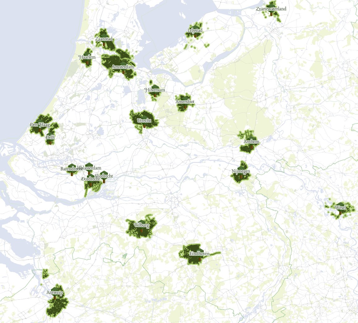
Opentrees navigation2.jpg
(
bestand
)
247 kB
1
19 feb 2022 14:52
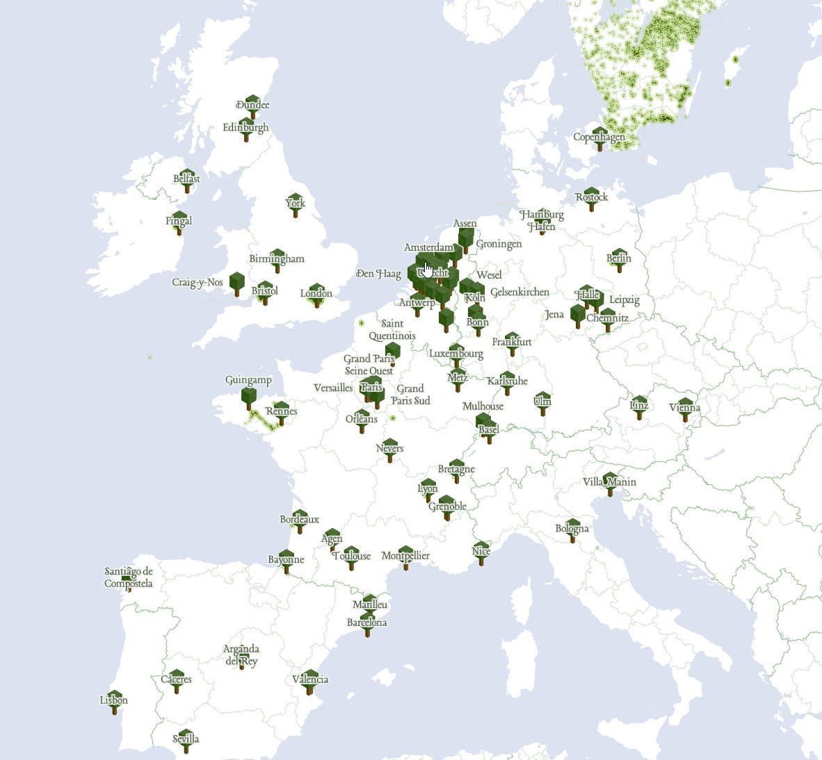
Opentrees navigation.jpg
(
bestand
)
149 kB
1
19 feb 2022 13:57
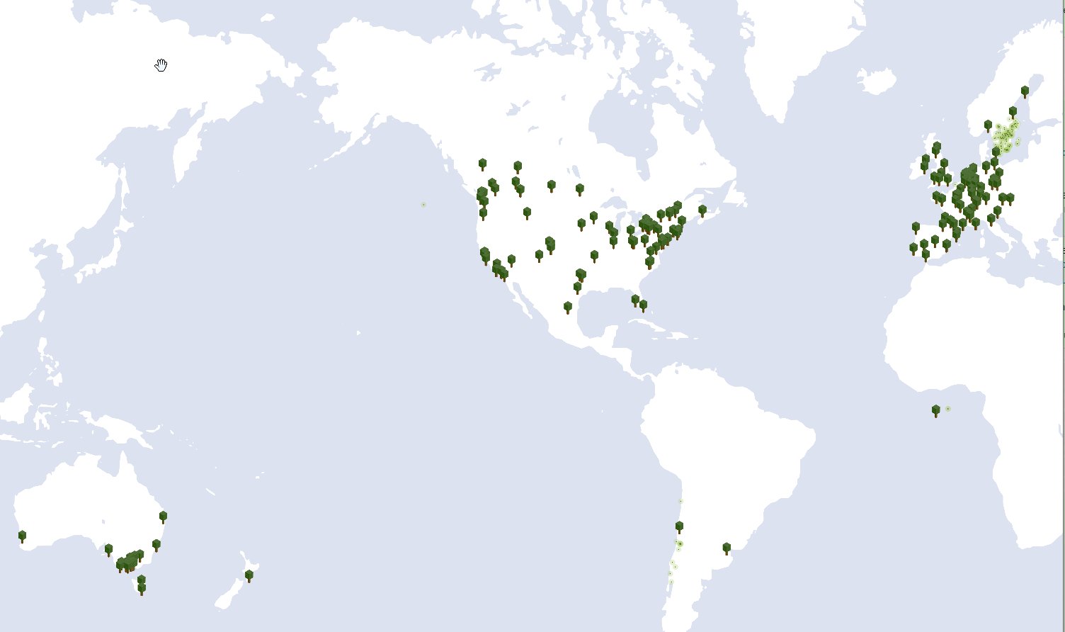
Opentrees worldwide coverage.jpg
(
bestand
)
72 kB
1
13 feb 2022 23:38
QGIS generate XYZ tiles results3.png
(
bestand
)
8 kB
1
13 feb 2022 18:52
QGIS select layer bomen.png
(
bestand
)
7 kB
1
13 feb 2022 17:50
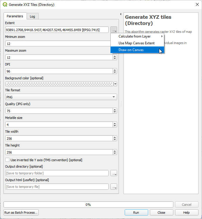
QGIS generate XYZ tiles dialog.png
(
bestand
)
37 kB
2
13 feb 2022 17:43
QGIS generate XYZ tiles results2.png
(
bestand
)
10 kB
1
13 feb 2022 17:43
QGIS generate XYZ tiles results.png
(
bestand
)
45 kB
1
13 feb 2022 17:43
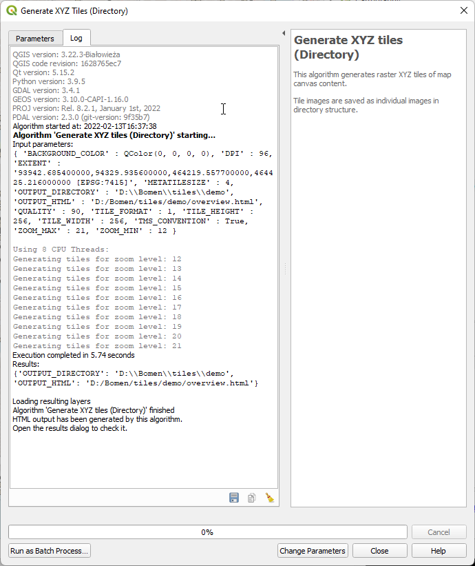
QGIS generate XYZ tiles progress.png
(
bestand
)
45 kB
1
13 feb 2022 17:42
QGIS extent calculate from layer.png
(
bestand
)
16 kB
1
13 feb 2022 17:22
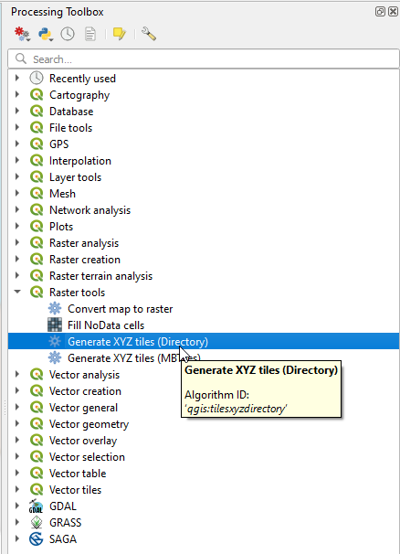
QGIS generate XYZ tiles.png
(
bestand
)
27 kB
1
13 feb 2022 17:22
QGIS processing toolboxl.png
(
bestand
)
9 kB
1
13 feb 2022 17:16
QGIS plugins install.png
(
bestand
)
7 kB
1
13 feb 2022 17:14
QGIS plugin Qtiles.png
(
bestand
)
14 kB
1
13 feb 2022 16:29
QGIS layer properties symbology rendering.png
(
bestand
)
38 kB
1
13 feb 2022 16:24
QGIS select layer OSM.png
(
bestand
)
7 kB
1
13 feb 2022 16:17
QGIS layer label placement result.png
(
bestand
)
5 kB
1
13 feb 2022 15:45
QGIS layer label placement.png
(
bestand
)
55 kB
1
12 feb 2022 18:08
QGIS layer symbology.png
(
bestand
)
69 kB
1
12 feb 2022 18:07
QGIS layer symbology load style qml.png
(
bestand
)
7 kB
1
12 feb 2022 18:07
QGIS layer symbology load style.png
(
bestand
)
48 kB
1
12 feb 2022 18:06
QGIS layer properties2.png
(
bestand
)
25 kB
1
12 feb 2022 15:51
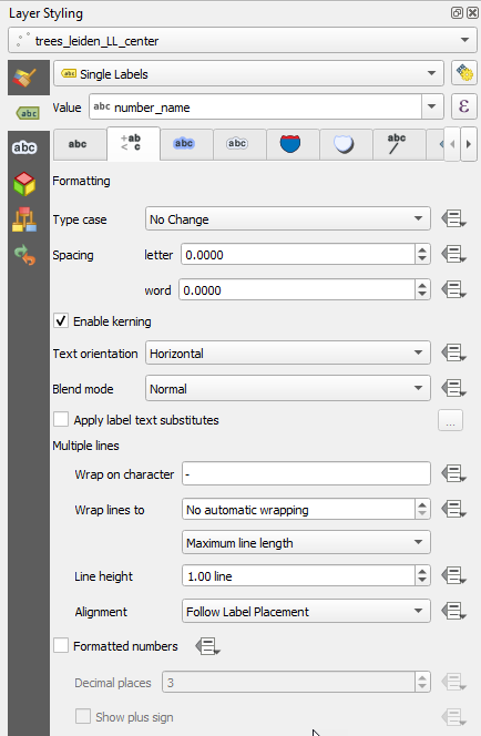
QGIS layer labelling wrap on character.png
(
bestand
)
38 kB
2
12 feb 2022 15:40
QGIS layer labelling result of wrapping.png
(
bestand
)
3 kB
1
12 feb 2022 15:31
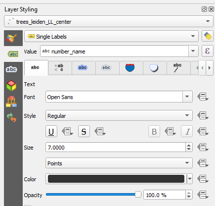
QGIS layer labelling point size.png
(
bestand
)
26 kB
1
12 feb 2022 15:18
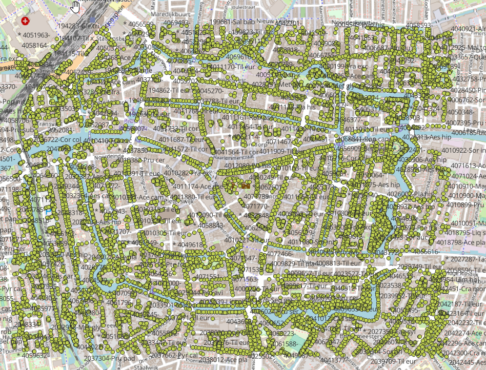
QGIS layer labelling a cloud of numbers appears.png
(
bestand
)
1,26 MB
1
12 feb 2022 15:12
QGIS layer labelling single details.png
(
bestand
)
40 kB
1
12 feb 2022 15:11
QGIS layer labelling single.png
(
bestand
)
12 kB
1
12 feb 2022 15:08
QGIS layer labelling.png
(
bestand
)
10 kB
1
12 feb 2022 15:04
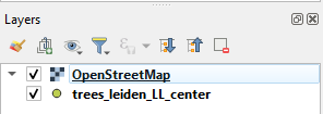
QGIS added OSM layer after swap layers.png
(
bestand
)
6 kB
2
12 feb 2022 14:58
QGIS add OSM layer result after swap layers.png
(
bestand
)
1,39 MB
1
12 feb 2022 14:57
QGIS added OSM layer before swap layers.png
(
bestand
)
6 kB
1
12 feb 2022 14:50
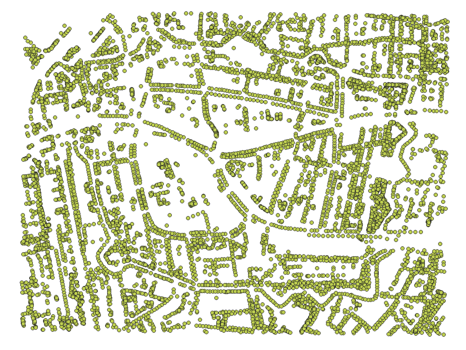
QGIS add OSM layer result.png
(
bestand
)
3,44 MB
1
12 feb 2022 14:45
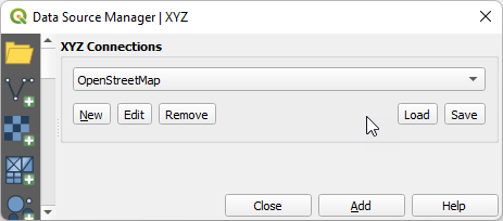
QGIS add OSM layer dialog.png
(
bestand
)
13 kB
1
12 feb 2022 14:43
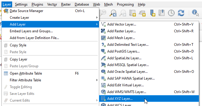
QGIS add OSM layer.png
(
bestand
)
41 kB
1
12 feb 2022 14:31
QGIS add delimited text layer result.png
(
bestand
)
303 kB
1
12 feb 2022 14:31
QGIS add delimited text layer dialog2.png
(
bestand
)
64 kB
1
12 feb 2022 14:31
QGIS add delimited text layer dialog.png
(
bestand
)
98 kB
2
12 feb 2022 13:56
QGIS add delimited text layer.png
(
bestand
)
36 kB
1
11 feb 2022 20:14
Lokale tileset via python server.png
(
bestand
)
17 kB
1
11 feb 2022 20:11
Start python server.png
(
bestand
)
10 kB
1
11 feb 2022 19:49
Local tiles in ID.png
(
bestand
)
37 kB
1
11 feb 2022 19:39
Tileset leiden centrum.png
(
bestand
)
11 kB
1
11 feb 2022 13:53
JOSM background 5.png
(
bestand
)
2,26 MB
1
11 feb 2022 13:53
JOSM background 4.png
(
bestand
)
21 kB
1
11 feb 2022 13:53
JOSM background 3.png
(
bestand
)
37 kB
1
11 feb 2022 13:52
JOSM background 2.png
(
bestand
)
179 kB
1
11 feb 2022 13:52
JOSM background 1.png
(
bestand
)
634 kB
1
2 feb 2022 12:00
Converteer JSON CSV..png
(
bestand
)
83 kB
1
30 jan 2022 11:31
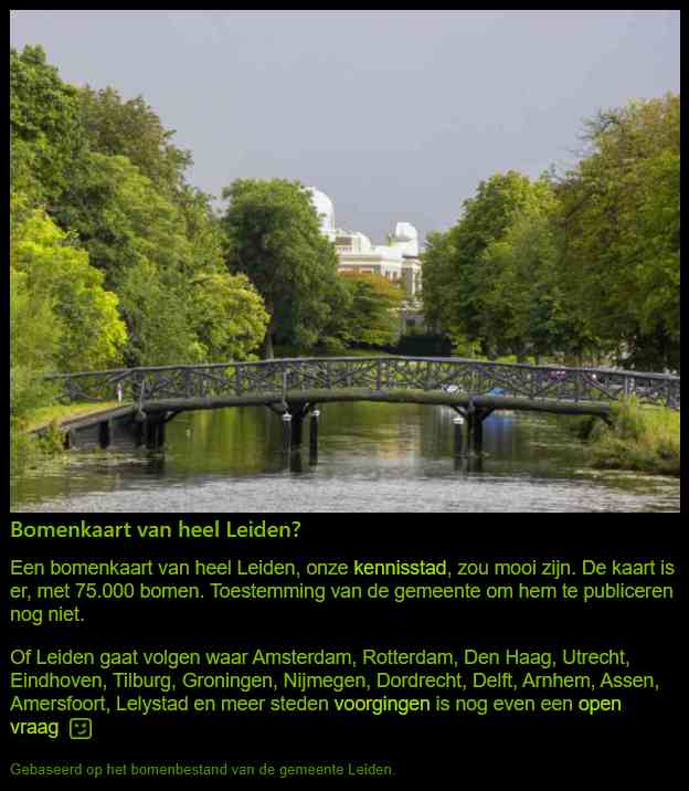
Oproep aan Leiden.jpg
(
bestand
)
39 kB
1
Eerste pagina
Vorige pagina
Volgende pagina
Laatste pagina
Navigatiemenu
Persoonlijke hulpmiddelen
Aanmelden
Naamruimten
Speciale pagina
Varianten
Weergaven
Meer
Zoeken
Navigatie
Hoofdpagina
Recente wijzigingen
Willekeurige pagina
Hulp met MediaWiki
Hulpmiddelen
Gebruikersbijdragen
Logboeken
Gebruikersgroepen weergeven
Speciale pagina's
Printvriendelijke versie


